
FEMA says it’s Risky to live in Washington county
According to FEMA, we are living in a danger zone, in fact, there are only 15 counties more risky than Washington County in the entire nation. What are they measuring?
Risk Index scores are calculated using an equation that combines scores for Expected Annual Loss due to natural hazards, Social Vulnerability and Community Resilience.
So what has got our number? Expected Annual Loss due to natural disasters!
Our social vulnerability number and community resilience numbers are in good shape set nicely in the moderate zone. However, It’s the chance of loss induced by Mother Nature that has FEMA worried. Our community's risk of expected loss is at 95.9% compared to the rest of the nation! So how does this all stack up? Here are our scores.

Avalanche: 21.6%. They must have hiked Pine Valley Mountain in February.
Coastal Flooding: Not Applicable. It would have to be an incredibly large wave to reach Southern Utah, not saying it could never happen, OK, yeah I guess FEMA got that one right.

Cold Wave: 27.2%
Drought: Surprisingly low at 32.9%, but they did note that this was measured against crop yield which is obviously low for our corner of the state.

Earthquake: 87.5%
Hail: 12.8%

Heatwave: 97.8%
Hurricane: Not Applicable. Obviously, FEMA is not aware of our cities, or they would have given us a 100% chance. Go Tigers!!
Ice Storm: Score 66.3%
Landslide: Score 98.1%

Lightning: Score 54.0%
Riverine Flooding: Score 99.0%
Strong Wind: Score 14.9%
Tornado: Very Low Score 6.7%
Tsunami: Not Applicable

Volcanic Activity: Not Applicable. FEMA doesn’t believe some of our dormant cones could re-ignite.
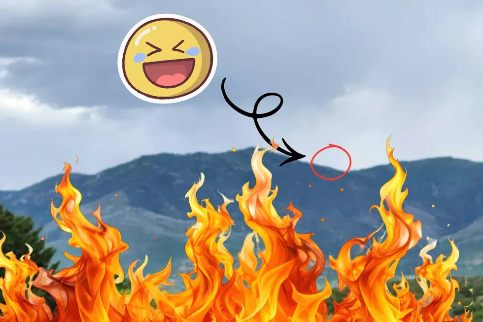
Wildfire: 99.9
Winter Weather: Score 63.5
So, it seems that the big ones are Earthquake, Heatwave, Landslide, and Riverine Flooding. This power pack of four puts Washington County in a high-risk spot on the map relative to the rest of the United States.
We're basically living life on the edge here in Washington County. So, hold onto your hats and houses, keep your sunscreen at the ready, and your lifeboats inflated. It's gonna be a wild ride!
Take A Hike Under the Lava in Snow Canyon
Gallery Credit: Olivia
More From Star 98